Crossing the Greensand Ridge
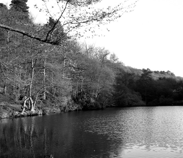
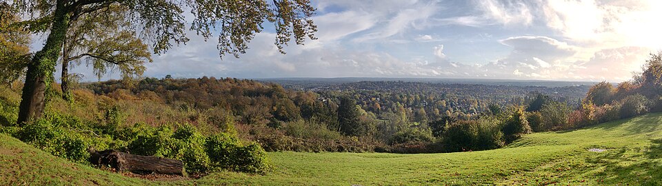
The Greensand Way is a long-distance path running along the greensand ridge that cuts through the heart of Surrey. This cycling adaptation follows rideable sections of the route from Dorking to Haslemere, using a combination of quiet lanes, bridleways and byways. The greensand ridge offers a distinct landscape of sandy heathland, pine woods and sunken lanes quite different from the chalk downs to the north.
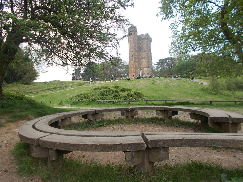
The route passes through some of Surrey’s most characterful settlements, including Abinger Hammer, Holmbury St Mary, Cranleigh and Chiddingfold. The terrain is gently undulating rather than steeply hilly, with the ridge maintaining a fairly consistent elevation between 100 and 200 metres. Views alternate between intimate wooded sections and open heathland with long views south across the Weald.
Planning the Ride
This is a full-day ride best suited to those with reasonable fitness and a bike capable of handling mixed surfaces. A gravel bike is ideal, though a mountain bike or sturdy hybrid will also work well. The route can be shortened by starting or finishing at Cranleigh, which is accessible via the Downs Link path and good facilities.
Navigation requires attention as the route uses a patchwork of lanes and bridleways. OS Explorer maps 145 and 133 cover the full route, and GPX files are available from the Surrey County Council website. Refreshment stops include The Abinger Hatch, The Crown at Cranleigh and The Crown Inn at Chiddingfold, one of the oldest pubs in England. Haslemere railway station at the western end provides a convenient return via train to Dorking.