Along the Wey Navigation
The Wey Navigation is one of England’s earliest canals, opened in 1653 to carry goods between Guildford and the Thames at Weybridge. Today, its towpath provides a lovely flat cycling route through the Surrey countryside. The path runs from Guildford town centre northward through Stoke Lock, Send and Pyrford to the junction with the Basingstoke Canal at Byfleet, and continues to the Thames at Weybridge.
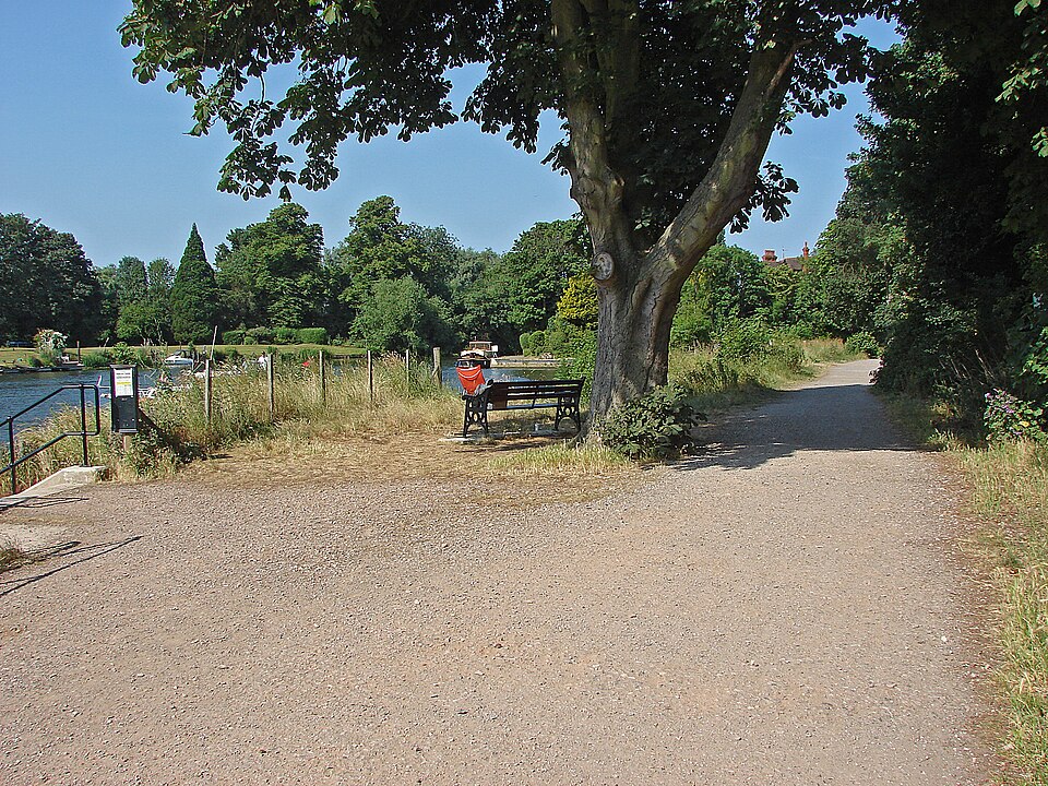
The towpath passes through a landscape of water meadows, willow-lined banks and quiet farmland. Historic locks with their distinctive wooden beam gates punctuate the route at regular intervals, and narrowboats moored along the banks add colour and character. The National Trust manages the navigation and maintains the towpath, which is surfaced with compacted gravel and suitable for most bicycles.
Route Details
Starting from Guildford’s town bridge, the towpath heads north along the east bank of the navigation. The first section through the town is well surfaced and popular with commuter cyclists. Beyond Stoke Lock, the path becomes quieter and more rural, passing through the Sutton Place estate before reaching Send and the lock at Papercourt.
The full route to Weybridge is approximately 25 kilometres, making it a comfortable day ride with plenty of time for stops. Newark Priory ruins, visible from the towpath near Pyrford, are a romantic landmark. The Anchor pub at Pyrford Lock is a classic towpath refreshment stop. This ride connects seamlessly with the Thames Towpath at Weybridge for those wanting a longer adventure.